-
Resource type: Map
The application includes a satellite image search engine
-
Resource type: External application
A dataset of temperature exposure statistics for Europe.
-
Resource type: External application
NSIS Map Portal - map composition of Environment
-
Resource type: External application
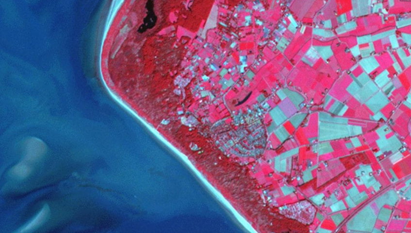
Satellite monitoring of agricultural drought

-
Resource type: MapObszar pogorzeliska na Połoninie Caryńskiej_WAT
Obszar pogorzeliska na Połoninie Caryńskiej_WAT
-
-
Resource type: MapObszar pogorzeliska w Bieszczadzkim Parku Narodowym
Obszar pogorzeliska w Bieszczadzkim Parku Narodowym
-
-
Resource type: External applicationGeoportal On The Map – Land Parcel Data at your
Geoportal On The Map – Land Parcel Data at your
-
Resource type: External applicationSoilEO - remote field fertility maps
SoilEO - remote field fertility maps
-
Resource type: External applicationIrriget - Satellite support of field crops irrigation
Irriget - Satellite support of field crops irrigation
-
Resource type: External applicationFERTISAT - application maps for farms
FERTISAT - application maps for farms
-
Resource type: External applicationDemonstration product – ground displacement map for the GZW area
Demonstration product – ground displacement map for the GZW area
-
-
-
Resource type: External applicationCrisis management - activated products for the area of Poland
Crisis management - activated products for the area of Poland
-
Resource type: External applicationClimate forecasts
Climate Projections is a dataset of temperature exposure statistics for Europe, derived from the daily average temperature at 2 meters above the ground and the minimum and maximum air temperature for the whole year, winter (December-January-February) and summer (June-July-August).
-
-
Resource type: External applicationAtmospheric pollution indicators
Atmospheric pollution indicators
-
Resource type: External applicationSatellite monitoring of agricultural drought
Satellite monitoring of agricultural drought
-
-
Resource type: External serviceMonitoring zmian powierzchni terenów zadrzewionych
WMS NSIS platforma
-
-
Resource type: External serviceOrtofotomapa satelitarna o zwiększonej rozdzielczości 2024
WMS NSIS platforma